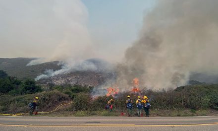
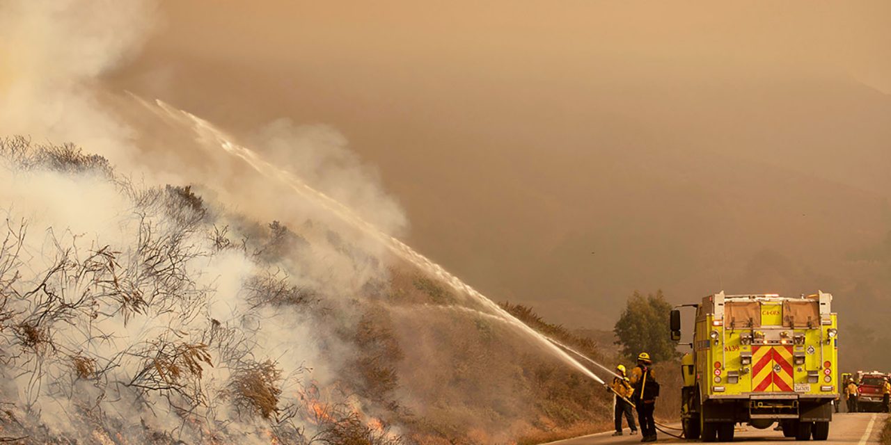
Over 17,400 firefighters remain on the frontlines of 26 major and three extended attack wildfires in California, Cal Fire reported in its statewide summary for Sept. 17. The weather pattern over much of California should be similar to Wednesday with higher temperatures and fairly clear skies. While progress was made on a number of fires, several others saw growth due to increased fire behavior and firing operations. Wednesday, firefighters responded to 22 initial attack wildfires across the state.
Since the beginning of the year, there have been nearly 7.900 wildfires that have burned over 3.4 million acres in California. Since Aug. 15, when California’s fire activity elevated, there have been 25 fatalities and nearly 5,400 structures destroyed.
A Red Flag Warning is in effect over the eastern Sierra from Modoc County in the north down to Mono County in the south for gusty winds and low humidity, bringing critical fire weather conditions to the area. A low pressure system arrives today bringing cooler temperatures and increasing humidity through much of the state. However, warm and dry conditions are likely to return this weekend, bringing elevated fire danger.
As crews contain the wildfires, evacuations will be lifted and residents allowed to return home. Sounds simple, but did you know there are many hazards to watch out for when you get to your property? Crews still working in the area, hot spots and potential hidden fire damage are just a few of the things for you to be aware. To learn more about returning home after a wildfire, visit www.ReadyForWildfire.org.
Fires of Interest:
**CALFIRE Incidents**
LNU Lightning Complex, multiple North Bay counties (more info…)
Napa, Lake, Sonoma, Colusa, Solano, and Yolo Counties
*363,220 acres, 98% contained
*While no growth is expected, fire suppression repair work is ongoing.
SCU Lightning Complex, multiple Easy Bay counties (more info…)
Contra Costa, Alameda, Santa Clara San Joaquin, Merced, and Stanislaus Counties
*396,624 acres, 98% contained
*While no growth is expected, fire suppression repair work is ongoing.
CZU Lightning Complex, San Mateo and Santa Cruz Counties (more info…)
*86,509 acres, 95% contained
*Multiple fires
*1,490 structures destroyed
*1 fatality
**Unified Command Incidents**
North Complex, Plumas County (more info…)
Southwest of Susanville (Plumas National Forest)
*280,775 acres, 36% contained
*15 fatalities
*865 Structures destroyed
*Evacuations in place
*Includes the Bear and Claremont Fire
*CAL FIRE Team 4 is in unified command with US Forest Service IMT Team 4
Creek Fire, Fresno County (more info…)
Northeast of Shaver Lake (Sierra National Forest)
*244,756 acres, 18% contained
*Evacuations in effect
*Heavy tree mortality in the area
*650 structures destroyed
*CAL FIRE Incident Management Team 1 in unified command with USFS Great Basin Team 1
El Dorado Fire, San Bernardino County (more info…)
West of Oak Glen (San Bernardino National Forest)
*18,506 acres, 63% contained
*Evacuations in place
*California Interagency Incident Management Team 11 in unified command with CAL FIRE, Yucaipa Fire Department and San Bernardino County Fire Department
Butte/Tehama/Glenn (BTU/TGU) Lightning Complex, multiple Counties (more info)
*19,609 acres, 97% contained
*16 structures destroyed
*While no growth is expected, fire suppression repair work is ongoing.
SQF Complex, Tulare County (more info…)
25 miles north of Kernville (Sequoia National Forest)
*122,835 acres, 12% contained
*Castle and Shotgun Fires merged into this complex
*CAL FIRE Incident Management Team 6 in unified command with USFS Team 2
Dolan Fire, Monterey County (more info…)
Hwy 1, 10 miles south of Big Sur (Los Padres National Forest)
*125,559 acres, 40% contained
*Structures threatened
*CAL FIRE is in unified command with Type 1 NW Team 2 (Allen)
**Coordinated Command Incidents**
August Complex, Tehama County (more info…)
Elk Creek and Stonyford area (Mendocino National Forest)
*812,033 acres 30% contained
*South Zone 484,754 acres, 30% contained
*North Zone 248,573 acres, 25% contained
*West Zone 78,706 acres, 5% contained
*Decreased acreage due to mapping by USFS
*1 fatality
*Includes multiple fires including the Elkhorn, Hopkins, Willow, Vinegar, and Doe fires
*A California Interagency Incident Management Team and Great Basin Team in command
*CAL FIRE Incident Management Team 3 & 5 are deployed on the West Zone of the complex.
**Federal Incidents**
Fox Fire, Siskiyou County (more info…) NEW
*1,500 acres, 0% contained
*Evacuations in place
Slater Fire, Siskiyou County (more info…)
5 miles North of Happy Camp (Klamath National Forest)
*143,092 acres, 10% contained
*2 fatalities
*Evacuation orders in place
Devil Fire, Siskiyou County (more info…)
5 miles north of Upper Devil’s Peak (Klamath National Forest)
*6,180 acres, 0% contained
Bobcat Fire, Los Angeles County (more info…)
North of Duarte (Angeles National Forest)
*50,539 acres, 3% containment
*Evacuations in progress
Bullfrog Fire, Fresno County (more…)
SE of Bullfrog Lake (Sierra National Forest)
*900 acres, 0% contained
Fork Fire, El Dorado County, (more info…)
15 miles northeast of Pollock Pines (El Dorado National Forest)
*1,752 acres, 34% contained
*Evacuation orders remain in place
Valley Fire, San Diego County (more info…)
Near Alpine (Cleveland National Forest)
*17,665 acres, 90% contained
*CAIIMT 15 in command
Lake Fire, Los Angeles County (more info…)
Southwest of Lake Hughes
Angeles National Forest / Los Angeles County Fire Department
* 31,089 acres, 96% contained
Apple Fire, Riverside County (more info…)
Oak Glen/Cherry Valley (San Bernardino National Forest)
*33,424 acres, 95% contained
Red Salmon Complex – Humboldt County (more info…)
14 miles northeast of Willow Creek (Shasta-Trinity National Forest)
*96,188 acres, 17% contained
Blue Jay Fire, Mariposa County (more info…)
Yosemite National Park Wilderness
*3,132 acres, 20% contained
Wolf Fire, Tuolumne County (more info…)
Yosemite National Park Wilderness
*624 acres, 10% contained
Woodward Fire, Marin County (more info…)
3 miles southwest of Olema (Point Reyes National Seashore)
*4,920 acres, 96% contained
Slink Fire, Mono County (more info…)
2 miles west of Coleville (Humboldt-Toiyabe National Forest)
*26,752 acres, 71% contained
Moraine, Tulare County (more info…)
Sequoia and Kings Canyon National Parks Wilderness
*575 acres, 70% contained
Rattlesnake, Tulare County (more info…)
Sequoia and Kings Canyon National Parks Wilderness
*1,596 acres, 0% contained
**Extended Attack Wildfires**
(These are wildfires that go beyond the initial attack, but are not major incidents.)
Shackleford Fire, Siskiyou County (more…)
Southwest of Quartz Valley Reservation
*50 acres, 70% contained
Schoolhouse, Siskiyou County (more info…)
Schoolhouse Gap Road, north of Fort Jones
*45 acres, 95% contained
San Antonio, Santa Barbara County (more info…)
Vandenberg Air Force Base
*111 acres
Top 20 Wildfire Records
- 5 of the Top 20 largest wildfires in California History have occurred in 2020.
- Largest Wildfires – #1 August Complex, #3 SCU Lightning Complex, #4 LNU Lightning Complex, #6 North Complex, and #10 Creek Fire.
- Most Destructive – #9 LNU Lightning Complex, #10 CZU Lightning Complex, #12 North Complex, and #18 Creek Fire.
- Deadliest Wildfires – #5 North Complex and #20 LNU Lightning Complex