Storm hits North County, bringing thunder and lightning
By Camille DeVaul · Wed Feb 18 2026
Gusts near 50 mph, falling debris, and localized flooding trigger outages for hundreds
NORTH COUNTY — A late-winter storm system is sweeping across the Central Coast this week, bringing gusty winds, periods of heavy rain, and the potential for flooding. The National Weather Service has issued both a Wind Advisory and a Flood Watch for the region, warning of strong winds, possible flash flooding, and hazardous travel.
Thunder and lightning hit North County starting in the evening of Tuesday, Feb. 17. The National Weather Service issued both a Wind Advisory and a Flood Watch for portions of southwest California through early Wednesday morning. Southwest winds of 25 to 35 mph, with gusts up to 50 mph, were expected from 3 p.m. to 3 a.m., which proved to be pretty accurate.
The storm’s impacts were seen early on Tuesday in San Luis Obispo. A portion of Monterey Street in downtown San Luis Obispo was temporarily closed Tuesday morning after a basketball-sized piece of decorative molding fell from above the historic Fremont Theater sign around 7:15 a.m., according to the San Luis Obispo City Fire Department. No injuries were reported, and the sidewalk below was taped off as a precaution while city building inspectors assess the façade and structural safety of the sign.
As a result of the incident, Tuesday night’s concert has been relocated to SLO Brew Rock, and it remains unclear whether additional shows will be moved. Monterey Street between Osos and Santa Rosa streets is closed to vehicle traffic, though businesses remain accessible to pedestrians. As of the publishing of this article, a reopening timeline has not yet been announced.
According to PG&E on Wednesday morning, an unplanned power outage is currently affecting 371 customers across San Luis Obispo County. The majority of impacted customers are in San Luis Obispo (236), followed by unincorporated areas of the county (90) and Atascadero (40). Smaller outages have also been reported in Grover Beach (4) and Oceano (1). During the heaviest part of the storm, over 1,200 residents were without power, with a good majority of those being along North and South River Road in Paso Robles.
Over the past 24 hours, Paso Robles recorded 1.26 inches of rain, bringing its seasonal total to 14.45 inches. In Atascadero, 1.71 inches fell during the same period, according to RainDrop.com, as the county’s website was down. Templeton measured 1.39 inches in the last 24 hours, also reported by RainDrop.com due to the county site outage, while Santa Margarita received the highest total, with 1.85 inches of rainfall.
Traffic storm damage on Tuesday night included a limb blocking the lanes at State Route 41 and San Gabriel Road in Atascadero. In Paso Robles, several problems were being reported: mud and shrubs were blocking the eastbound lane at Peachy Canyon Road and Pacific Avenue; CRG 14 and Chimney Rock Road had mud, dirt, and rocks on the roadway; and South River Road at Santa Ysabel Avenue experienced roadway flooding.
Beginning Thursday, both Atascadero and Paso Robles will experience a cool and unsettled pattern, with periods of rain, breezy conditions, and daytime highs in the low to mid-50s through Friday. Overnight lows will be chilly, dipping into the 30s in Atascadero and the upper 20s to 30s in Paso Robles. Conditions will begin to improve on Friday, but remain cool and mostly cloudy. A gradual warming trend develops over the weekend, bringing a mix of sun and clouds and highs climbing into the low to mid-60s by Sunday. Another round of showers is possible next Monday and Tuesday, keeping temperatures near 60 degrees before skies clear again by midweek, returning to mostly sunny conditions. Overall, residents can expect cool nights, mild afternoons, and periodic chances of rain.
Helpful links to reference:
- California Highway Patrol (CHP) Traffic Incidents: cad.chp.ca.gov/Traffic.aspx
- PG&E Power Outage & Alerts: pgealerts.alerts.pge.com/
- San Luis Obispo County Water Resources: wr.slocountywater.org/
As officials assess safety concerns and crews monitor roads and waterways, forecasters say a gradual warming trend is expected by the weekend.
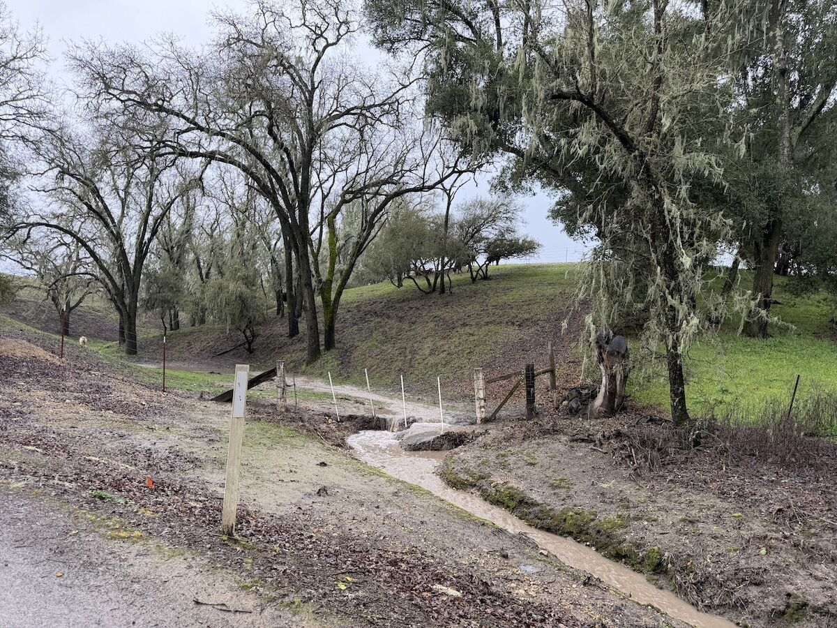
Feature Image: Water flows down to Moss Lane in Templeton after the storms hit North County this week. Photo by Camille DeVaul/PRP